2026-07-04
Over the past weeks I have developed Bikeodon.org, a federated, open-source activity tracking platform (mostly targeting cycling at the moment).
I want to highlight one of its features: map rendering for virtual rides. If you ride your Zwift avatar through the virtual world of Watopia and upload your ride to Strava, Zwift marks this ride as “virtual” and generates artificial GPS waypoints for it somewhere around the Solomon Islands.
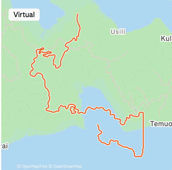
In your Strava feed, the GPS route is rendered using real-world OpenStreetMap (OSM) map tiles.
This always felt off for me, like saying “this land is so unimportant, we just use it for our virtual world”. The virtual world of Watopia does not try to recreate the original landscape, rides frequently seem to happen on water.
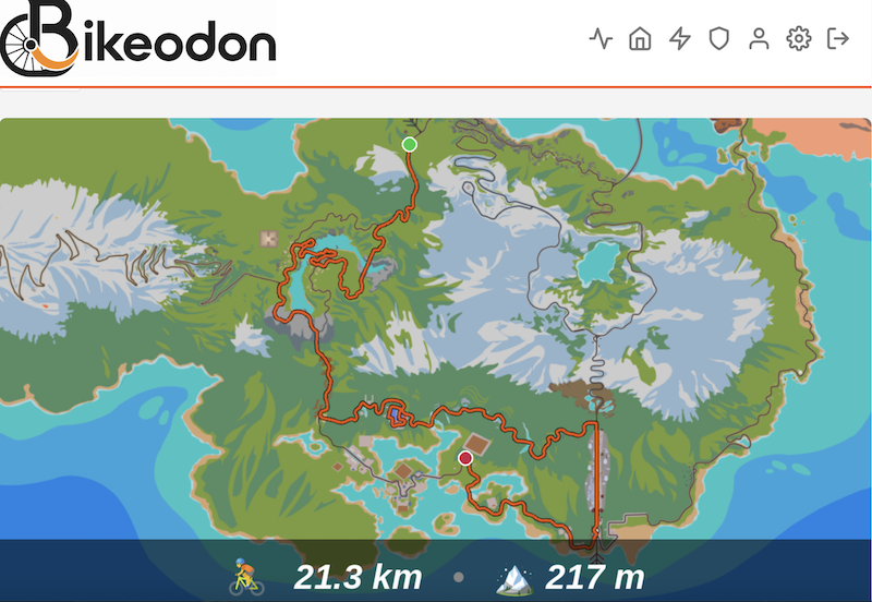
People have created beautiful fan-made artwork of the Watopia world. If you use bikeodon to publish your cycling activities, you can freely choose if you want your Watopia rides to be overlaid on such a fan-made map instead of the OSM tiles.